Aerospace
Products & Services
Earth Observation Services
Continuous improvements in processing algorithms allow to capture and understand the risks associated with soil movement in various mine regimes using historical data from radar satellites.
Satellite Navigation Services
Ionospheric threats on GNSS precise positioning limit many high accuracy commercial by limiting service continuity.
AIS Ionosonde
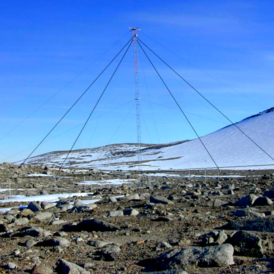
The ionospheric radar AIS uses high-frequency radio waves for the remote sensing of the ionosphere.
Ray Tracing Service
The Ionospheric magnetoplasma Ray Tracing is an applicative software package for calculating a three-dimensional ray tracing of high frequency (HF) radio waves in the ionospheric medium.


